




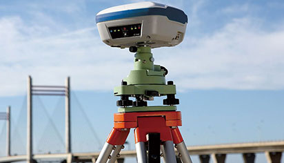
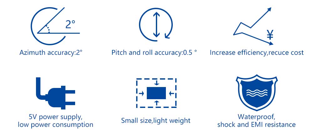
RTK (Real-Time Kinematic) technology adopts the real-time carrier phase differential method to achieve centimeter-level real-time positioning. BWSENSING’s RTK tilt survey algorithm solution integrates inertial attitude sensors to dynamically measure roll, pitch and azimuth angles. It automatically corrects tilt and azimuth for accurate ground coordinate calculation, without requiring the survey pole to be strictly vertical, greatly boosting survey efficiency and lowering field operation costs.
Shared:


GPS measurements before both static, fast static and dynamic measurement afterwards for solving hard to centimeter level accuracy, and RTK is able to get cm-level real-time positioning accuracy in the field of measuring methods, it USES the dynamic real-time carrier phase difference method, is a major milestone in GPS application, it appeared as the project lofting, ographic mapping, various control survey brought a new dawn.
BWSENSING cooperation partners launched RTK tilt attitude algorithm solution, using the navigation position reference sensor, dynamic measuring roll Angle and pitching Angle and azimuth Angle, in the survey work, users don't need strictly to the point, again after the built-in attitude sensor can according to the center pole automatically coordinate correction tilt Angle and azimuth, getting the right bottom coordinates, greatly improve the working efficiency.
-
STAY CONNECTED




-
8:00am-7:00 pm Service Online
WhatsApp/Tel:+86 15050 672 146
+86 17606 118 008
Commercial:sales@bwsensing.com
Customer Service:support@bwsensing.com

Copyright © 2010-2026 Wuxi BEWIS Sensing Technology LLC 苏ICP备14001101号-6 Privacy Policy Cookies

 +86 189 2129 2620
+86 176 0611 8008 sales@bwsensing.com
